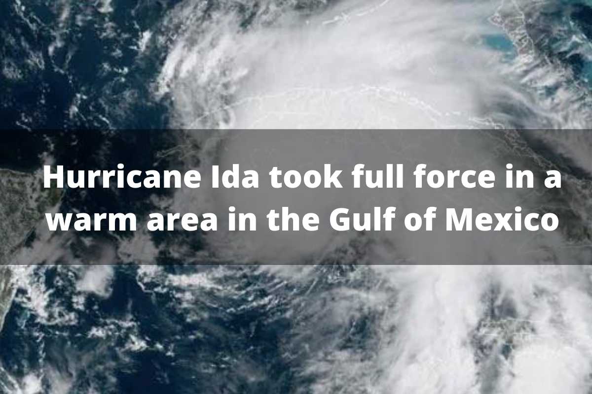
Hurricane Ida was filled with great energy right in a giant warm zone found in the Gulf of Mexico. Its trajectory and strength are analyzed as it headed towards the Gulf of Mexico, and meteorologists observed a giant pool of warm water approaching.
And this was just the signal to warn of the momentum that the hurricane would take in less than 24 hours, which explains the strength with which it turned from a weak hurricane to a strong Category 4 storm.
The hurricane that hit the outskirts of New Orleans on August 29 was a storm that rapidly escalated into a monstrous hurricane. For scientists, the 200-kilometer-wide area in the Gulf of Mexico potentiated Hurricane Ida and caused the effects in Louisiana.
Must Read: The employment rate in the private sector in the United States of America is declining
They have explained how hurricanes form, describing how a circular current rotates in the ocean clockwise. This time, a key movement happens in the North Atlantic Ocean, which takes its strength in the flow of warm water from the tropics and the Caribbean Sea to the Gulf of Mexico. Then it picks up momentum again through the Straits of Florida, between Florida and Cuba.
The turn and intensity of this is a key component, but the Gulf Stream flows along the east coast in a northward direction.
It is normal that in the Gulf, the current can begin to create large warm eddies as it approaches North Florida, and when these eddies coincide with hurricane season, the results can be catastrophic for the populations found on the Gulf Coast.
Impressively, up to three warm eddies may arise in the Gulf, and these move slowly towards the west. But subtropical water temperatures and the level of salinity in the water can make eddies easy to identify.
Also Read: New Jersey Afghans Volunteer to Offer Comfort to Refugees
Warm water temperatures can cause hurricanes to not only form but intensify in a very short time, just as Ida did.
The temperature readings and the course of eddies can help predict their possible trajectory and create contingency plans to avoid as much damage or loss as possible, although the hurricane cannot be prevented.
Can you tell when a whirlpool will become a serious problem?
Meteorologists and teams of scientists constantly monitor the heat content in the ocean, allowing them to keep an eye on the dynamism of the ocean, a work that intensifies in the summer seasons.
Final words:
Warm eddies can energize atmospheric systems, causing both winter ice storms and Ida-intensity hurricanes in summer. The scientists were able to measure the danger posed by the heated pool in the Gulf for Hurricane Ida with measurement techniques and equipment that allowed obtaining temperature and salinity data.

Leave a Reply