
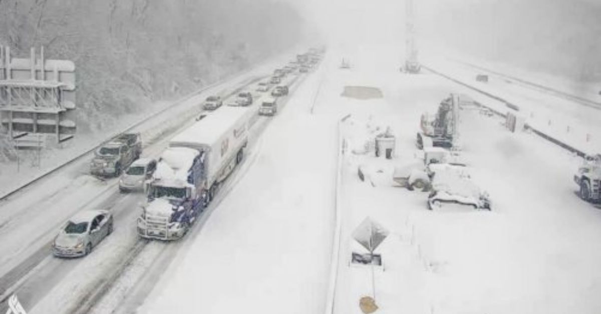
The western United States is currently experiencing heavy coastal rain and mountain snow due to a powerful atmospheric river, and there is still more to come later this week.
Rain or snow is forecast for each of the 11 western states, with California bearing the brunt of the adverse weather conditions. According to poweroutage.us, as of Tuesday evening, the wind, rain, and snow have caused power outages for around 140,000 customers in the state of Oregon, 18,000 consumers in the state of California, and 31,000 customers in the state of Washington.
Flood watches have been issued for more than 5.3 million people over much of the West Coast, including Seattle, because of the atmospheric river, an extended, narrow region in the atmosphere that can transport moisture over thousands of miles.
The National Weather Service has predicted that a string of storms that originate in the Pacific would bring intense precipitation, snowfall in the mountains, and high winds to the western United States through the weekend.
Warnings Of High Winds For The Pacific Northwest Region
On Tuesday evening, the National Weather Service has issued wind warnings for more than 14.9 million people in the Western United States. The storm system continues to make its way inland.
A watch for gusty winds has been issued for a large portion of the Pacific Northwest. Around five o’clock Pacific Time, the National Weather Service’s Seattle office reported a gust of 63 miles per hour in Grays Harbor County. “West wind finally made it to the Central Gorge and Upper Hood River Valley earlier today,” the Portland office said at 5:24 p.m. today.
In addition, wind advisories have been issued not just for the states in the Pacific Northwest but also for a large number of additional Western states. Wind gusts of 82 miles per hour in Wagontire, Oregon; 84 miles per hour in Cambridge, Idaho; and 90 miles per hour in Walker, California, were among the highest.
According to arborist Colin Bourgeois, who spoke to CNN affiliate KATU, high gusts in Portland might bring down trees in the area that have been weakened by the catastrophic weather that has occurred over the past few years.
“The successive dry summers that we’ve had, particularly the heat events like the heat dome, that harms trees, and it takes up so much of their energy to fuel their immune systems to fight off viruses,” said Bourgeois. “This eats up so much of their energy to fight off pathogens.”
Rainfall Records Have Been Broken In Portland
In the previous day, some parts of Portland’s western suburbs have received as much as 6 inches of precipitation. At the same time, the city itself set a new precipitation record for the date on Monday. Rainfall of 2.12 inches was recorded in Portland, breaking the previous record of 1.08 inches, which was established on December 26, 1996. In December, Portland experienced the third most Rainfall on Monday.
In some localized areas of the West, the following five days are expected to see rainfall totals of up to six inches, with most of the region receiving between two and four inches. Rainfall totals between 4 and 6 inches are anticipated along the coast, with some inland locations perhaps seeing even more significant amounts.
Heavy Rainfall may Bring About Flash Floods
The western foothills of the Sierra Nevadas, as well as the coastal regions of southern Oregon down to the Bay Area and to Los Angeles County, are where the potential for flash flooding is the greatest. Other areas of worry include the Bay Area and Los Angeles County.
At lower elevations, particularly in the charred landscape left behind by wildfires, there is the potential for widespread and dispersed episodes of flash flooding. Since Monday night, rain ranging from moderate to heavy has been pouring across areas of the Bay Area, and it is anticipated that the rain will continue to fall for the next few days.
Rainfall measurements taken as of the middle of the morning on Tuesday showed that downtown San Francisco had received 1.21 inches, Santa Rosa had received 2.72 inches, and Mount Tamalpais had received 4.10 inches.
When the local office of the National Weather Service received information from law enforcement that roadways were flooding, they issued a flood advisory, which was then revoked a few hours later. Southern California should expect a temperature decrease of 15 to 20 degrees due to the storm.
The National Weather Service office in Los Angeles stated in a tweet on Monday that “Say farewell to the warmth.” “The forecast is for a significant temperature drop between today and tomorrow” (Tuesday). Because of the impending storm system, you may expect temperatures to drop by 15–20 degrees.”
According to the forecast from the meteorological service, the temperature in Los Angeles might drop to as low as 49 degrees Fahrenheit on Wednesday night. The weather service office located in Northern California issued a similar warning about the stormy sea conditions.
The office in Eureka issued a statement on Twitter stating that “seas have built to between 16 and 22 feet around the Northwest California coast.” This is not only creating hazardous conditions in the ocean, but it is also bringing enormous waves to the coast. Please maintain a safe distance from the ocean and refrain from climbing on any rocks or jetties.
If you found that this post was helpful to you, please share your feedback with us in the comments box down below. In addition, don’t forget to check back frequently on our website Journalistpr.com. to stay up to date on the latest information.
Leave a Reply