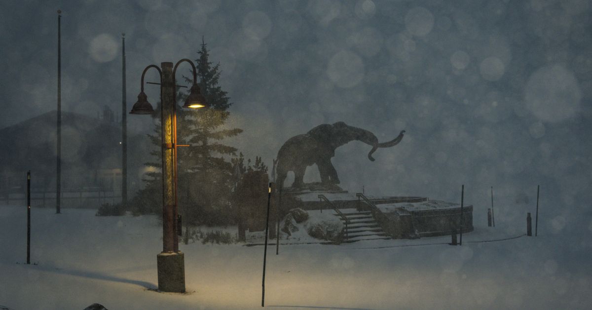
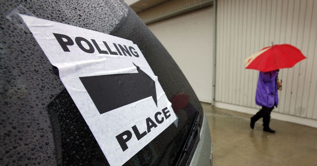
A winter storm is bringing heavy rain and snow to California. This will affect a lot of the state on Tuesday when people will be going out to vote. The storm could be one of the biggest to hit the state in November in recent years. It is part of a busy weather pattern that could help add snow to the mountains and end fire season in California.
The Sierra Nevada is likely to get between 1 and 4 feet of snow, and the highest points could get up to 6 feet. The winter storm will have winds of more than 50 miles per hour and could close roads. The weather service says it could be hard or even impossible to travel.
In a warning message, the National Weather Service office in Hanford, California, said, “If you must travel, pack tyre chains, a lot of food, a lot of water, warm clothes, and a flashlight in your car.”
On Tuesday, the system will move south, and an atmospheric river could bring between 1 and 5 inches of rain to Southern California and up to 7 inches to some coastal mountain slopes. Many areas that have recently been burned by wildfires have been warned about flash floods.
The rain comes as the state may be entering its fourth year in a row of drought, which has left reservoirs with much less water than usual for this time of year. Some cities are expected to run out of water in the next few months, which will force people to save water and look for it everywhere.
The storm could help replenish the snowpack in the mountains. When the snow melts in the spring and summer, it fills up reservoirs that people have built. Even though the storm won’t solve the state’s water problems, it is a good sign for the coming wet season.
California is staring down what could be one of the more significant November storms in recent years.
High-resolution models are forecasting up to 7 feet of snow in the next 48 hours across the Sierra, with over 6″ of rain across the SoCal mountains.
A fire season-ending storm. pic.twitter.com/7URm9tqHsY
— Colin McCarthy (@US_Stormwatch) November 7, 2022
Not only do November’s storms bring much-needed snow to the mountains, but they also mark the end of fire season for most of the state.
The drought has made forests more stressed and more likely to catch fire. This year, about 360,000 acres have burned in the state. This year so far, nine people have died in wildfires and more than 770 homes have been destroyed.
There were hints from weather models that November might be wet. With less sunlight and shorter days, it takes much longer for the land to dry out in the winter than in the summer.
Brent Wachter, a fire meteorologist at the Northern California Geographic Area Coordination Center in Redding, said, “This is the pattern we’ve been looking for.” “Large significant fires are not likely for a long time,” but there could still be sparks and small fires in the coming months when it is dry.
Jonathan O’Brien, a meteorologist at the Southern California Geographic Area Coordination Center in Riverside, said, “With this system, even the places that haven’t gotten much rain so far should get a good dose. This should end a big part of the fire season.”
The rain in November is a welcome change from the past few years, when dry and warm weather led to devastating fires well into autumn. From 2017 to 2020, there wasn’t much rain in the fall, and a series of deadly and destructive fires were caused by the wind. These included the Wine Country fires in October 2017, the Thomas Fire near Santa Barbara in December 2017, the Camp Fire in November 2018, and the Glass Fire in Napa and Sonoma in September 2020.

Climate change caused by humans is also making the fall months in California warmer and drier. This makes it more likely for plants to catch fire in a big way later in the season. According to data from the California Department of Forestry and Fire Protection, this year’s fire season has burned less land than average compared to the last 30 years.
Wachter and O’Brien said that a lack of wind, wet monsoon storms this summer, fewer long heat waves, and wet rains in the spring and fall all helped to reduce the number of wildfires this year.
O’Brien said, “I think in a lot of ways we got lucky because we were ready for a big fire year.” “We also benefited from the lack of Santa Ana winds. So far this year, we haven’t had any big wind events, which is a little strange.”
During a historic heat wave in September, some of the most dangerous fires of the year broke out. This also made conditions very flammable going into October, when dry offshore winds often bring dangerous fire weather.
Widespread precipitation is expected through tomorrow morning, with more scattered activity by the afternoon. Here is a look at the possible timing. Remember to give yourself extra time to reach your destination! #CAwx #NorCal pic.twitter.com/uFHnzWBfCQ
— NWS Sacramento (@NWSSacramento) November 8, 2022
But soon after, unusual early-season rain soaked most of the state, including the remnants of Hurricane Kay in Southern California, putting an end to fires for several weeks. The rain in September and the stormy weather right now show how important autumn rain is to putting out fires during the most dangerous part of California’s fire season.
“This early in the season for Southern California, it’s not very common for us to get a lot of rain,” O’Brien said. “This year is getting off to a good start.”
In this post, we talked about California Election Week Storm. I hope you like our article. If so, please share your wise thoughts in our comments section. Add Journalistpr.com to your bookmarks as well for more of these updates. More Updates: Chicago Students Plan A Walkout Over A Possible Nazi Costume And Trump Corporation Is Appealing A Judge Decision To Appoint A Monitor

Leave a Reply