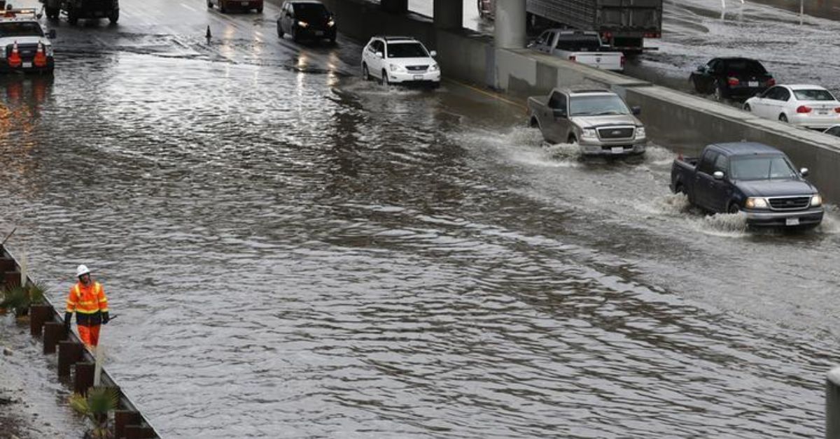
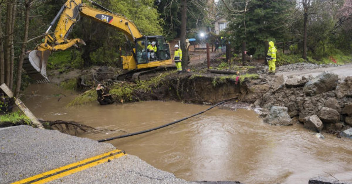
Large parts of California continued to have wet, miserable weather on Sunday, as an atmospheric river that caused major flooding moved east and a new storm threatened to bring more rain, snow, and strong winds as early as Monday.
The National Weather Service said that the next system could make the severe flooding that has hit the area in recent days even worse. This caused a levee to break on Saturday, and many people in farming communities near the central coast of the state had to leave their homes.
The new storm is not expected to bring as much rain, but forecasters said that “considerable flooding” could happen at lower elevations because of more rain and snowmelt that makes creeks and streams bigger.
“You should definitely get ready for the effects of more flooding. There is a lot of water in the ground. “Even with small amounts, we’re already seeing some effects,” said Eleanor Dhuyvetter of the National Weather Service.
The weather service office in Sacramento said that a tornado touched down briefly in Tuolumne County on Saturday, when strong thunderstorms dropped an inch and a half of hail. Forecasters said there was a chance of tornadoes again on Sunday afternoon.
On Monday, rain and snow are expected to fall from central California to northern Nevada and Oregon. Some places could see wind gusts of up to 50 mph (80 kph), which could damage power lines and break tree branches. But the new storm is moving quickly, so it won’t have as much time to rain.
A measuring station in the Sierra Nevada got more than 20 inches (50 centimeters) of snow in the last two days, and more is expected. The Central Sierra Snow Lab at UC Berkeley says that the snowpack is now almost twice the average and the highest it has been in about 40 years.
The snowpack stores water that a state that has been in a drought for three years really needs. In the Big Sur area of the state, as much as a foot (30 centimeters) of rain fell over the course of two days. Authorities recommend that people have a plan in case they are told to leave again.
More than 8,500 people were moved out of Monterey County on Saturday, including about 1,700 people from the unincorporated community of Pajaro. Most of these people were Latino farmworkers.
On Sunday, Nicholas Pasculli, a spokesman for Monterey County, said, “We are still in disaster response mode.” He said that the county is setting up high water rescue teams all over the county and opening more shelters because more flooding is expected.
Flooding has closed parts of Highway 1, also known as the Pacific Coast Highway, along Big Sur and near Pajaro. The atmospheric river, also called a “Pineapple Express” because it brought warm subtropical moisture from near Hawaii across the Pacific, was melting the lower parts of California’s huge snowpack.

Because of the huge flooding at the start of the weekend, first responders and the California National Guard had to save more than 50 people. In one video, a Guardsman helped a driver get out of a car that was stuck in water up to their waists.
Still not sure how much damage was done to property, Luis Alejo, chair of the Monterey County Board of Supervisors, asked the state and federal governments for help. “The need will be great! Will take months for our residents to repair homes!” he wrote in a tweet Saturday.
In the past few weeks, Gov. Gavin Newsom has declared an emergency in 34 counties, and on Friday morning, the Biden administration approved a presidential disaster declaration for some of those counties. The White House said that President Joe Biden called Newsom on Saturday to say that the federal government will help California deal with the emergency.
According to the Governor’s Office of Emergency Services, more than 17,000 people in Monterey County lost power late Saturday because of bad weather. By late morning on Sunday, about 7,000 people still didn’t have power. The governor’s office said that it would keep an eye on what was going on in Pajaro.
Santa Cruz County and Monterey County are split by the Pajaro River. When part of the river’s levee system broke around midnight Friday into Saturday, officials were working to fix it. Crews started fixing the levee around dawn on Saturday, while people who had been forced to leave their homes slept in evacuation centers.
Built in the late 1940s to protect against flooding, the levee has been a known risk for decades. In the 1990s, it broke several times. In January, emergency repairs were made to a part of the berm. In 2025, a rebuild that will cost $400 million will start.
This week’s storm was the 10th atmospheric river the state has seen this winter. These storms have brought a lot of rain and snow to the state and helped end the drought. State reservoirs had gotten to shockingly low levels, but now they are well above average for this time of year. This has caused state officials to let water out of dams to help prevent flooding and make room for more rain.
If you enjoyed this piece, please share your ideas in the comments area. And keep coming back to check out our Journalist PR site for the most recent in the world of pop culture and entertainment.

Leave a Reply